In our modern day world of easy flight, aerial photos and topographical data is so readily available that it is second nature to perceive the landscape around us from above. But for almost all of human history such perspectives were simply not available.
Landscape was something that we inhabited, and which existed around us, not below us. Nowhere is this more clearly illustrated than on ancient maps, and what they depict.
Such maps regularly feature highly distorted depictions of the landscape, and the temptation is to scoff at the clumsy attempted made by our ancestors as they fumbled forward in their painfully slow understanding of the world. But this would be a mistake, and in doing so we would do the ancients a disservice.
Often the maps they produced were not supposed to be literal interpretations of the landscape, but were either metaphorical or figurative to some extent, portraying a symbolic or ritual landscape and giving deliberate prominence to features they thought held high importance. Others are designed for easy use, and it is ourselves who look simplistic by comparison in our slavish and single minded insistence on literal accuracy and nothing else.
Here are five such ancient maps, which reveal how the ancients saw the world.
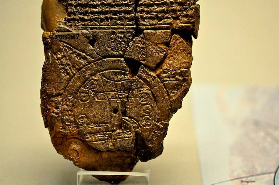
1. Babylonian Map of the World

2. The Tabula Rogeriana

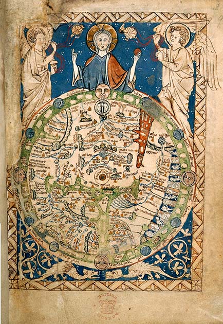
3. The Psalter World Map

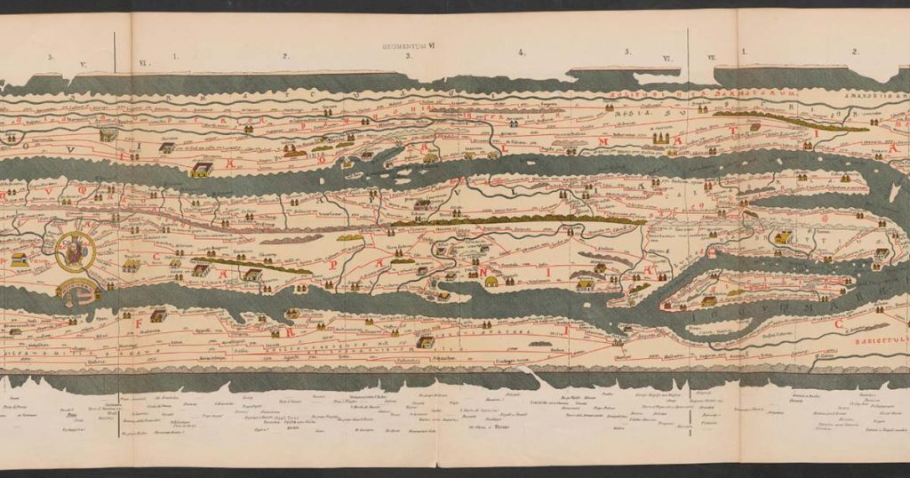
4. The Tabula Peutingeriana

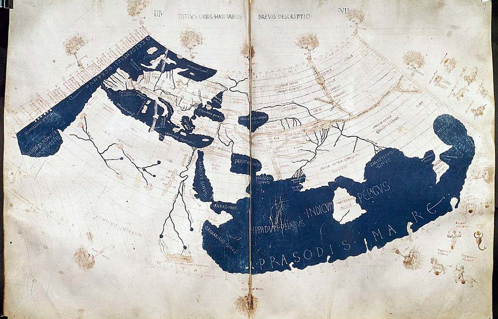
5. Ptolemy’s World Map

Top Image: Another depiction of Ptolemy’s World Map, complete with lines of latitude and longitude. Source: National Library of Australia / Public Domain
By Joseph Green